Other Useful Maps for Planning in the Indian Himalaya
A guide to some lesser-known but genuinely useful map resources for the Indian Himalaya — from Harish Kapadia’s expedition sketches to Depi Chaudhry’s trekking maps and the Pahar archive.
Explore →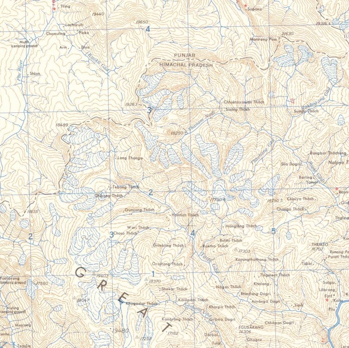
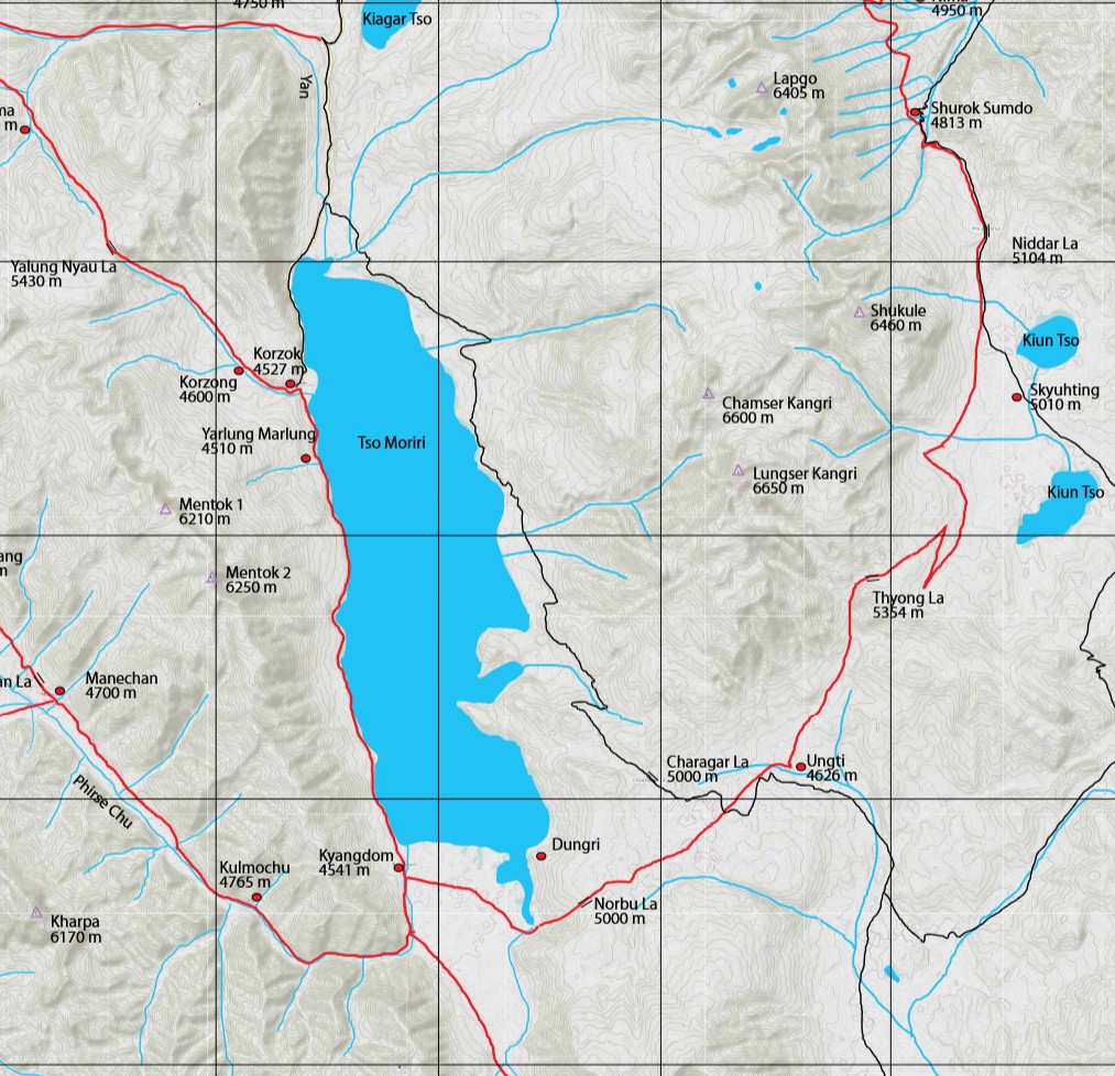
Topographic and Trekking Maps of the Indian Himalaya
A guide to the main topographic map series covering the Indian Himalaya and how to get them onto your phone.
Explore →Mapping the Himalaya: Which DEM to Use?
A look at the different elevation datasets available for the Himalaya - Cartosat, SRTM, ALOS, and the high-resolution HMA DEMs - and what each is actually good for.
Explore →
3 Helpful Features to Have While Hiking with OsmAnd, Especially in India
Three features that significantly improve hiking with OsmAnd in India - a dedicated hiking rendering profile, offline Survey of India topo maps, and a large collection of raster map sources including satellite imagery and Strava heatmaps.
Explore →Survey of India Topo Maps on OsmAnd
How to get offline Survey of India 1:50,000 topographic maps working as an overlay on OsmAnd.
Explore →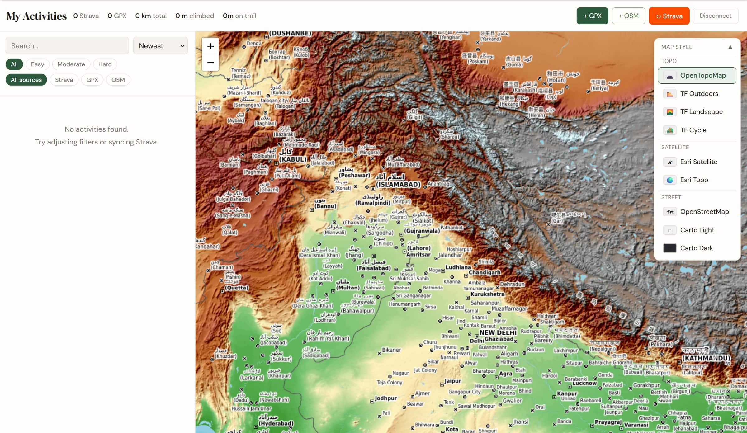
Activity Dashboard
An interactive map to visualise all my trails and expeditions — with switchable terrain layers and personal GPS traces.
Explore →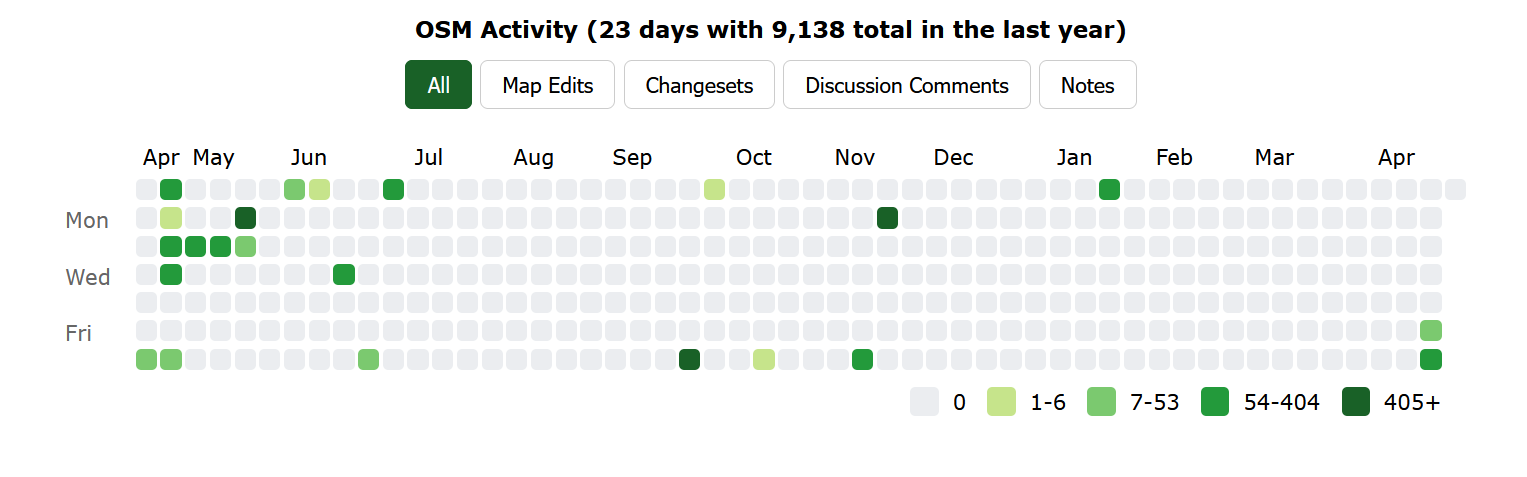
Mapping the World with OpenStreetMap
Contributing to the world’s largest open map — trails, roads, and places across India and beyond.
Explore →No projects found for this tag.